
學術會議
國際學術報告:Semantic Segmentation on Street View Images Using Graph Matching and Point Clouds
文章來源: | 發布時間:2016-10-12 | 【打印】 【關閉】
This talk presents a novel scene parsing approach via structure transferring on both images and point clouds. Unlike traditional methods that extract joint features from images and point clouds, we introduce a new framework which processes images and point clouds in separate pipelines and combine them in the inference step. We also propose a structure transfer scheme by finding maximal similar parts across scenes, which is realized via graph matching with a new model. The transferred structures, as well as the information from point clouds, are integrated in a new energy function to enhance the inference performance. Though integrating several additional terms, the energy function does not introduce any higher-order potentials, remaining a locally connected pairwise Markov Random Field (MRF), which can be efficiently optimized. We evaluate the approach on several challenging datasets, achieving promising performance.
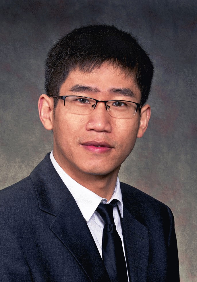 Speaker Bio: 王瑞勝博士是加拿大卡爾加里大學智能空間信息研究室主任。主要研究方向為大規模三維城市建模中的航空和移動激光技術的整合、激光和圖像中智能特征的提取識別及三維重建技術、航空圖像和探測數據的智能處理等。他畢業于武漢大學攝影測量與遙感專業,獲加拿大新不倫瑞克大學地理信息工程專業碩士學位及加拿大麥吉爾大學計算機工程專業的博士學位。王博士在美國芝加哥諾基亞公司位置與商務部任研究員(2008-2012),主要研究方向是基于移動激光的下一代地圖制作和導航技術,并先后八次獲得重大創新發明獎。于2012年加入卡爾加里大學,獲得兩次谷歌研究獎(Google Research Award,2016, 2014),并被Elsevier和ISPRS Journal of Photogrammetry and Remote Sensing評為優秀審稿人。目前任國際攝影測量與遙感學會激光點云數據處理工作組學術秘書和國際攝影測量與遙感期刊的顧問編委會成員 (ISPRS Journal).
報告時間:2016年4月28日下午2:30
報告地點:2321會議室
主 持 人: 蘇奮振研究員
附件下載: